
Positioning infrastructure
KAILOS Wi-Fi Positioning
Hybrid indoor positioning, radio-map construction and a location platform for buildings and connected applications.
Explore KAILOSADVANCED POSITIONING TECHNOLOGY
Know where people and machines are — from open sky to indoor space.
KPT builds positioning technologies that combine GNSS, Wi-Fi, inertial sensing and AI to maintain location awareness across changing environments.
POSITIONING CONTINUITY
Satellite positioning works best under open sky. Indoor spaces, dense urban environments and complex structures require different information. KPT brings multiple positioning sources together so the location experience can continue as the environment changes.
Use GNSS — and RTK GNSS where higher precision is required — as the outdoor reference.
Combine sensing and positioning intelligence to recognize when outdoor assumptions are no longer enough.
Use Wi-Fi, inertial sensing, pressure, map information and other available signals to maintain indoor location awareness.
KPT TECHNOLOGY
Location is not one sensor. KPT connects signals, edge intelligence, sensor fusion and positioning engines into systems that can serve people, assets and autonomous machines.
Positioning infrastructure
Hybrid indoor positioning, radio-map construction and a location platform for buildings and connected applications.
Explore KAILOS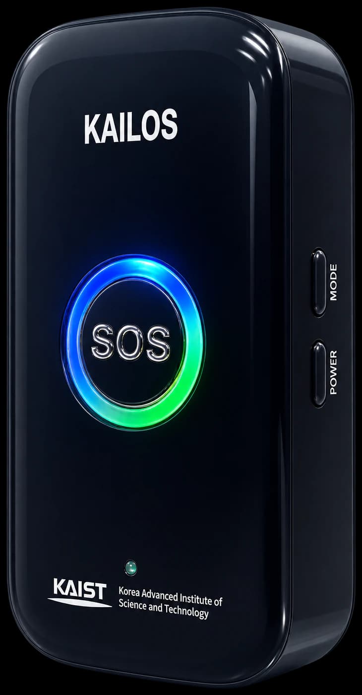
Positioning devices
A wearable positioning device designed to connect outdoor GNSS positioning with indoor sensor-fusion tracking.
Explore KTAG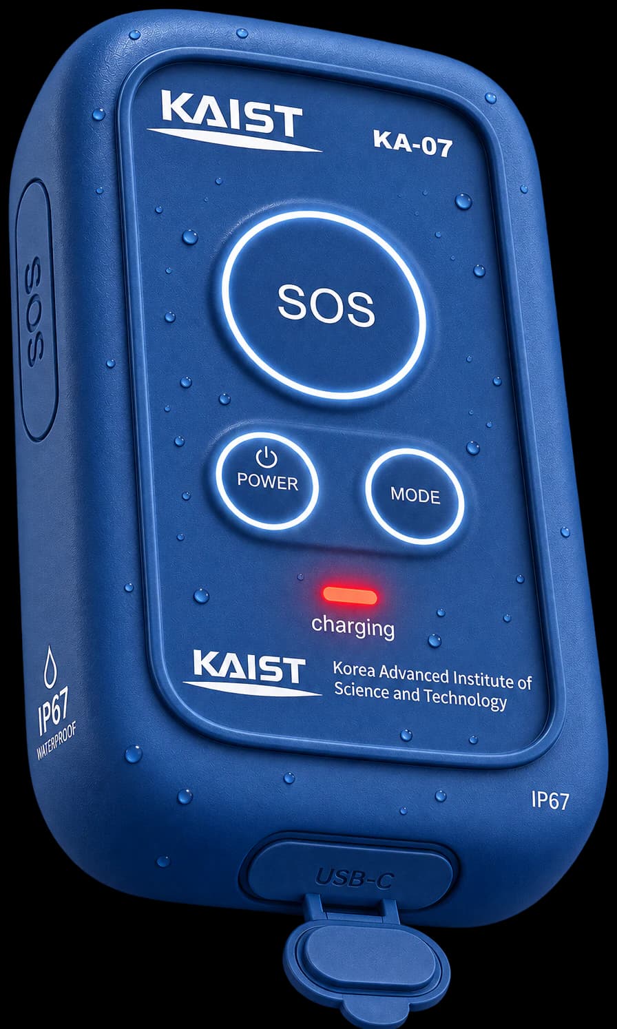
Positioning devices
Higher-precision outdoor positioning with RTK GNSS, integrated with the KPT indoor-outdoor positioning stack.
Explore KTAG Pro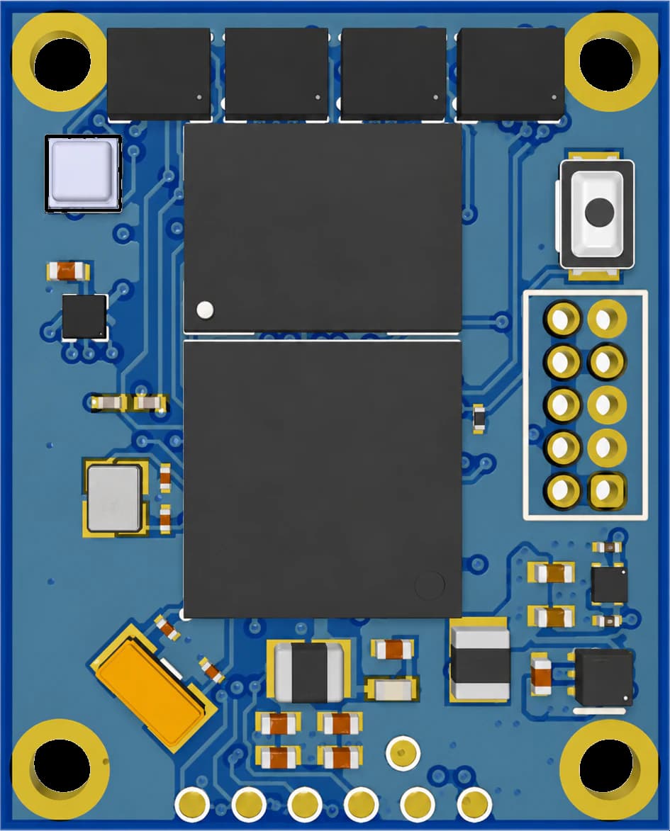
Positioning intelligence
Compact AI-powered inertial positioning for real-time motion understanding and trajectory estimation at the edge.
Explore Neural Engine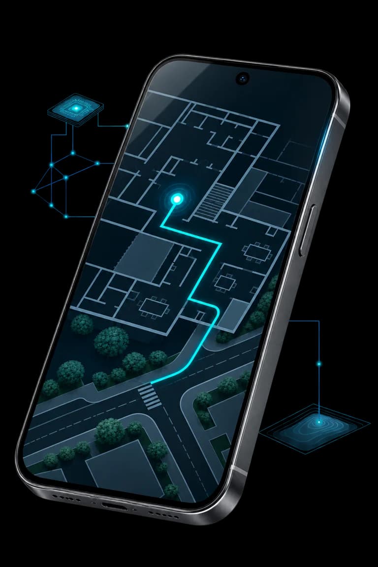
Positioning intelligence
AI models and a map database turn sensor data from commercial smartphones into continuous, real-time positioning outdoors and indoors.
Explore Smartphone LocalizationBUILT FOR REAL-WORLD OPERATIONS
Improve situational awareness for teams working across factories, construction sites and other complex environments.
Explore Workforce SafetySupport responders with location information as they move from open outdoor areas into structures where satellite signals may become unreliable.
Explore Emergency ResponseEnable location-aware workflows for patients, staff and vulnerable people across healthcare environments.
Explore HealthcareExtend positioning awareness into operational environments where relying on satellite positioning alone may not be sufficient.
Explore Defense & Mission-CriticalHOW IT WORKS
Capture the signals that are available: GNSS, Wi-Fi, Bluetooth, acceleration, rotation, magnetic field and pressure.
Combine complementary measurements and motion information to reduce dependence on any single signal source.
Estimate current position, motion and trajectory across changing environments.
Deliver location information to safety systems, applications, operators and autonomous systems.
RESEARCH TO REAL-WORLD SYSTEMS
KAILOS technology has evolved through research in Wi-Fi positioning, radio-map construction, sensor fusion, pedestrian dead reckoning and indoor-outdoor integrated navigation. KPT is extending that foundation into dedicated devices and AI positioning modules designed for real-world deployment.
Positioning patents filed in Korea, the United States, Japan, China and Europe, and journal and conference papers from KAIST ISI Lab.
Explore the research record2014
KAILOS described at IPIN 2014
Radio maps
Building and maintaining fingerprints at scale
Fusion
Motion information between radio updates
Continuity
Detecting and bridging the transition
AI
Deep learning on Wi-Fi, magnetic and inertial signals
Today
KTAG, KTAG Pro and KAILOS Neural Engine
PARTNERS & COLLABORATORS





Tell us where positioning becomes difficult. We will help you design the right combination of signals, devices and positioning intelligence.
Talk to Our Team