
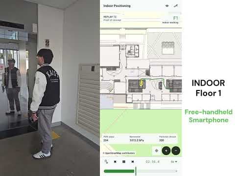
Demo
AI Based Smartphone Localization Demo
Demonstration of AI-based outdoor–indoor positioning using a commercial smartphone.
AI BASED SMARTPHONE LOCALIZATION
AI Based Smartphone Localization uses the built-in sensors of commercial smartphones and a supporting map database to estimate a user's position continuously, in real time, across outdoor and indoor environments.
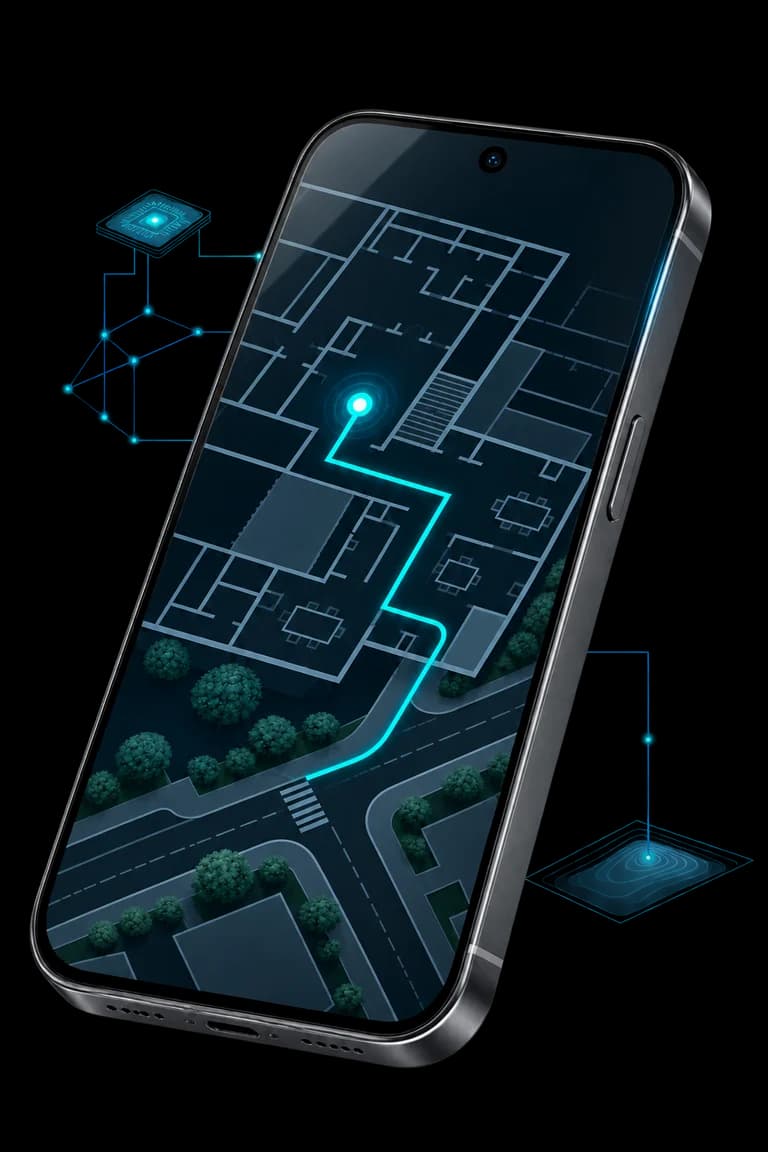
FROM MOVEMENT TO LOCATION
Follow a smartphone from the outdoor plaza into a building — while viewing the screen, taking a call, or carrying it with a natural arm swing. Explore how sensor data, AI and map context come together as one continuous trajectory.
Select a posture to explore
View screen
Held in front of the body while looking at the screen.
The phone moves with its user. Built-in sensors supply the measurements used by the positioning system.
Sensor stream
01Illustrative sensor signals change with the phone’s carrying posture.
AI estimation
02An AI model interprets sensor data to estimate position.
Location trajectory
03Continuous location updates, placed in their map context.
Map database/Spatial context across outdoor and indoor environments.
SMARTPHONE SENSING
Like the KAILOS Neural Engine, this system uses an AI model to estimate position from sensor data. It brings that principle to the built-in hardware of commercially available smartphones.
As a person walks with a phone, its sensors provide a stream of measurements. The AI model interprets that data to estimate position over time, turning everyday movement into a continuous location trajectory.
From sensing to location
INDOOR–OUTDOOR CONTINUITY
A map database supports the AI-based positioning system as the user moves between outdoor spaces and indoor environments. Together, sensor data, AI models and map information enable continuous, real-time location updates.
The map provides the spatial context for the location estimate. The result is a trajectory that can be followed across the transition from an outdoor space to a building interior.
Map-supported continuity
CAPABILITIES
Uses sensors already built into commercial smartphones.
Applies an AI model to sensor data to estimate the user's position.
A map database supports continuous positioning across outdoor and indoor environments.
VIDEOS
Demonstration of AI-based outdoor–indoor positioning using a commercial smartphone.
Talk to KPT about your smartphones, map coverage and indoor–outdoor positioning requirements.
Talk to Our Team